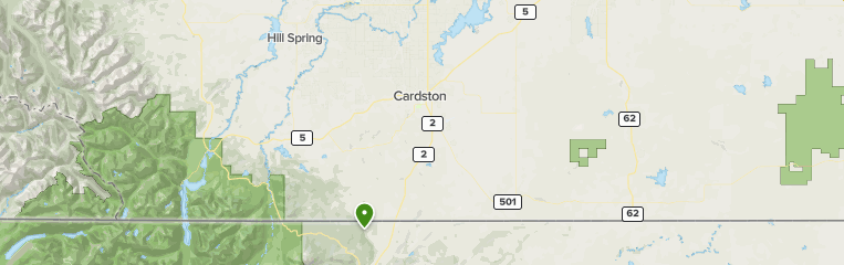
Cardston County is a municipal district in southern Alberta, Canada. It is located in Census Division 3 around the Town of Cardston.
The municipal district was established on January 1, 1954, through the amalgamation of the Municipal District of Sugar City No. 5 and part of the Municipal District of Cochrane No. 6. On January 1, 2000, the name was changed from Municipal District of Cardston No. 6 to Cardston County
Geography
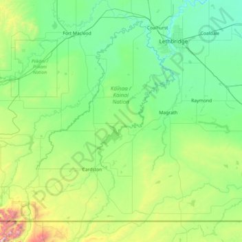
Cardston County, located in southern Alberta, Canada, boasts a diverse landscape ranging from rolling plains to stunning mountain vistas. Its terrain is influenced by the Waterton River, providing fertile farmland and scenic beauty."
Lakes
- Payne Lake
Communities and localities
Demographics
In the 2021 Census of Population conducted by Statistics Canada, Cardston County had a population of 4,856 living in 1,143 of its 1,387 total private dwellings, a change of 8.4% from its 2016 population of 4,481. With a land area of 3,358.39 km2 (1,296.68 sq mi), it had a population density of 1.4/km2 (3.7/sq mi) in 2021.
In the 2016 Census of Population conducted by Statistics Canada, Cardston County had a population of 4,481 living in 1,043 of its 1,260 total private dwellings, a 7.5% change from its 2011 population of 4,167. With a land area of 3,429.82 km2 (1,324.26 sq mi), it had a population density of 1.3/km2 (3.4/sq mi) in 2016.
See also
- List of communities in Alberta
- List of municipal districts in Alberta
References
External links
- Official website

.jpg?format=2500w)